Canada's Glacier National Park to Vancouver
On 16 August, we drove from Radium Hot Springs to Revelstoke, with stops at Glacier and Mount Revelstoke National Parks.
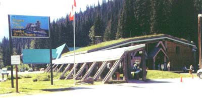
| The Rogers Pass Visitor Center in Glacier National Park has a very interesting history of the park and the road. The road here follows the abandoned rail bed. The railroad gave up on trying to protect trains from avalanches and built a tunnel. | |
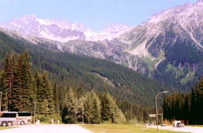
| Glaciers are all around the visitor center area. This is a view to the north from the Rogers Pass parking area. Avalanches are a problem for the road, also. Parts of the road are covered with snow sheds. The road is sometimes closed and cannon fire used to trigger avalanches when it is safe to do so. Evidence of past avalanches are visible as green patches with few trees on the mountainsides. | |
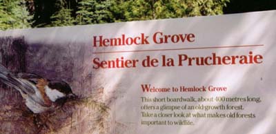 |
There are two trails to the SW of Rogers Pass. The first is Hemlock Grove. |
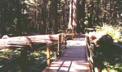 |
Hemlock grove has an almost flat boardwalk. it takes only a few minutes to walk the trail and enjoy the view of very large trees. |
| The second trail is Giant Cedars. It is in the eastern edge of Mount Revelstoke National Park. | 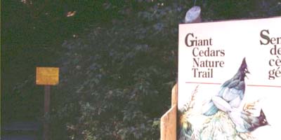 |
| Giant Cedars boardwalk trail is longer and not flat. | 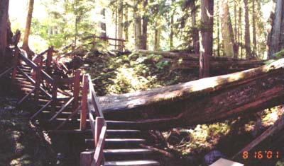 |
| A dominant growth under all the trees in both parks is Devil's Club. This plant has very sharp thorn-like points on the leaves that protect the plants against grazing animals, and also make it painful for hiking people. | 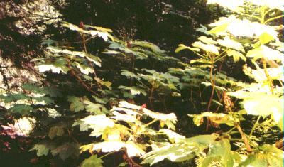 |
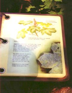 |
Scattered along the trail are information stands that tell about the vegetation and animals that might be seen. |
We next visited Mount Revelstoke National Park. Great views of mountain peaks with snow are available from the Firetower, and the 30 minute Meadows In The Sky Trail has many beautiful wildflowers scattered along it. If you are very lucky, you might see caribou here, also. I did not.
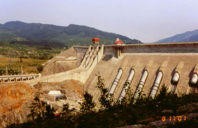 |
| The Columbia River starts in British Columbia at Columbia Lake. We saw Columbia Lake shortly after we entered Canada as we were headed for Radium Hot Springs. The Columbia River has many dams along its length that produce massive amounts of electrical power. Revelstoke Dam is the second dam below Columbia Lake. Four penstocks carry water from the lake to the powerhouse below the dam. |
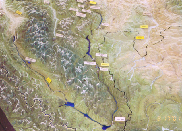 |
| A free, self guided tour of the dam and power plant is available. A scale model of the entire Columbia River from its origin to its outlet below Portland, Oregon, is one stop on the tour. This picture shows the upper part of the river, with north and Columbia Lake being toward the left. Mica Dam, the first dam on the river, is at the river bend at the bottom of the picture. Revelstoke, with a very small lake, is just below the center. Several more dams and power plants are visible here, downstream, or toward the top of the photo. |
Return to Scenic Tour of 2001.
Return to Lewie's Home Page.